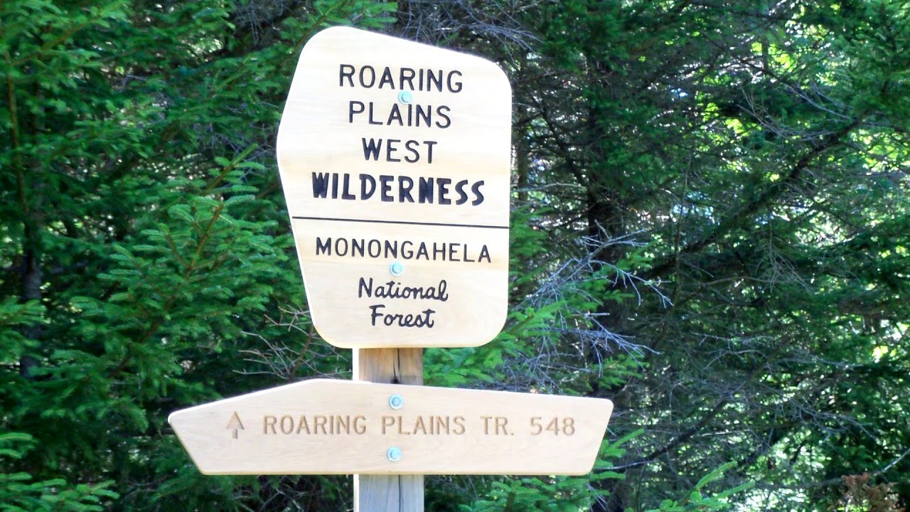
Roaring Plains West Wilderness
Bonner Mountain Road, Dry Fork, WV 26260
The 6,792 acres of Roaring Plains West Wilderness area is located approximately 3 miles southwest of the Dolly Sods Wilderness. Primary access is from the Flatrock Run Trail and Forest Road 70 (gated, but open during autumn hunting season). The 7.4-mile trail system is open to hikers and equestrians and provides numerous scenic views.
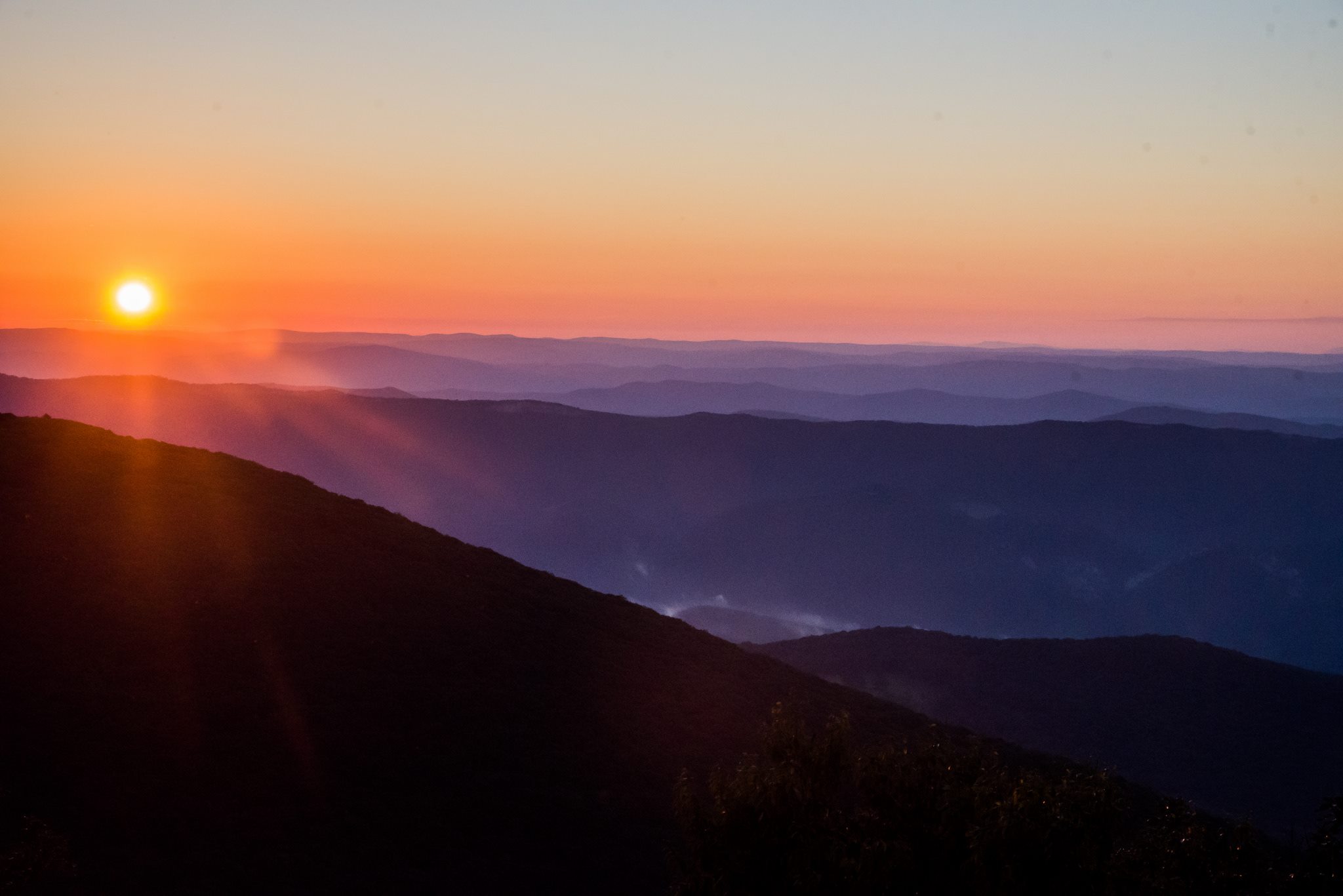
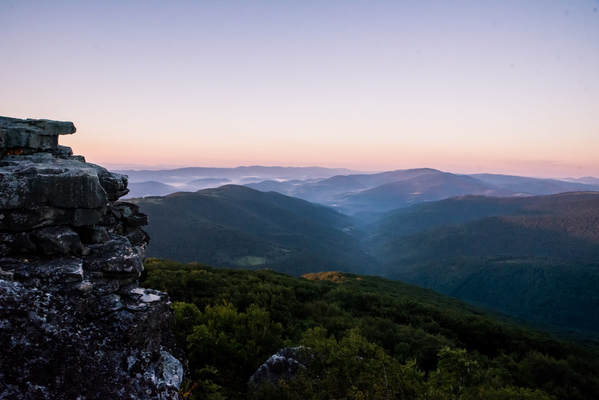
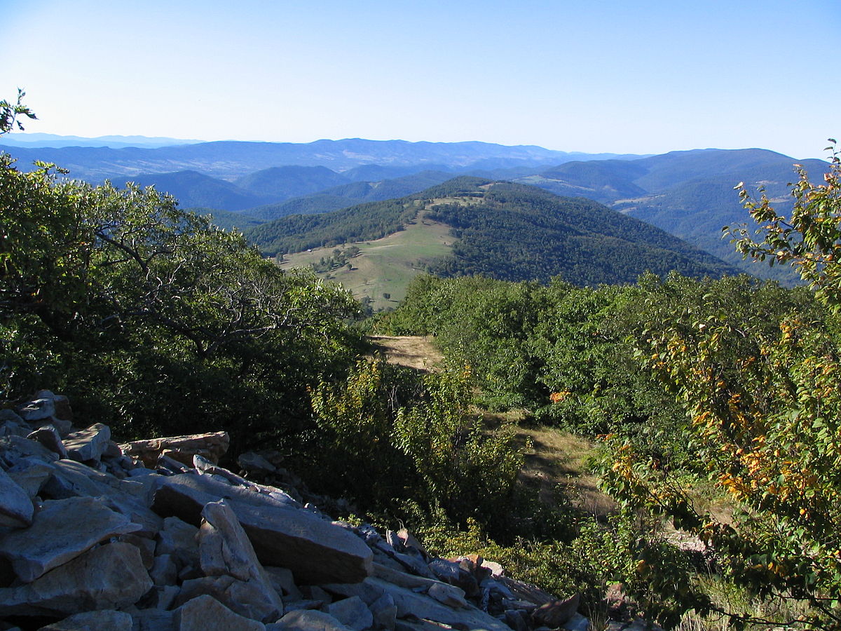
They are slightly higher than the Sods, reaching as much as 4,700 feet, and are wrapped to the east and south by the Allegheny Front. With over 3,000 feet of relief above parts of the surrounding valleys, the Plains are known for their beautiful views and nearly constant winds. The vegetation is diverse and consists of mixed hardwoods, red spruce, and brush, with an under-story of bogs, grasses, and rhododendron.
Mount Porte Crayon, the sixth highest point in the state of West Virginia and the northernmost of the top ten state highpoints, is a mountain in the Roaring Plains Wilderness. It is also the highest point on the Eastern Continental Divide in Maryland, Pennsylvania, and West Virginia. The relatively flat plateau on which it sits is the highest, largest plateau in eastern North America with 5.5 square miles lying at or above the 4,500 ft. elevation contour.
Mount Porte Crayon remains one of West Virginia’s most inaccessible peaks since it is far from the nearest trail, let alone a public road. A walk to the summit using the U.S. Forest Service’s Flat Rock Run Trail or Roaring Plains Trail totals more than five miles and is a 2,500-foot gain endeavor. Summiting Mount Porte Crayon is for experienced hikers only and its difficulty should not be underestimated. Views are afforded from a crag, known as Thunderstruck Rock, about a quarter mile from the summit.
Photo Gallery