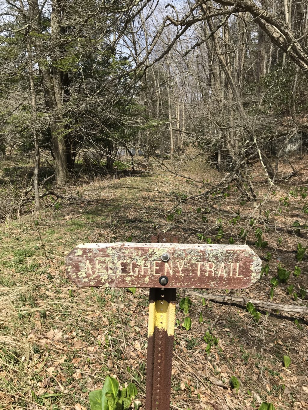
Allegheny Trail
Traversing woodlands, streams, farmlands, and country roads, the 330-mile Allegheny Trail offers acclaimed hiking, backpacking, camping, and fishing opportunities. This is a north-south trail and the northern terminus is on the Mason-Dixon Line at the Pennsylvania-West Virginia border near Bruceton Mills. It winds it’s way south until it meets the Appalachian Trail on Peters Mountain at the Virginia-West Virginia border. It was initiated in 1975 and is being built and maintained by the West Virginia Scenic Trails Association.
The Allegheny Trail, not to be confused with the Allegheny Highlands Rail Trail, passes through or near 3 state parks, 4 state forests, 2 national wilderness areas, and the Monongahela, George Washington and Jefferson National Forests; And runs through six counties: Preston, Tucker, Randolph, Pocahontas, Greenbrier, Monroe.
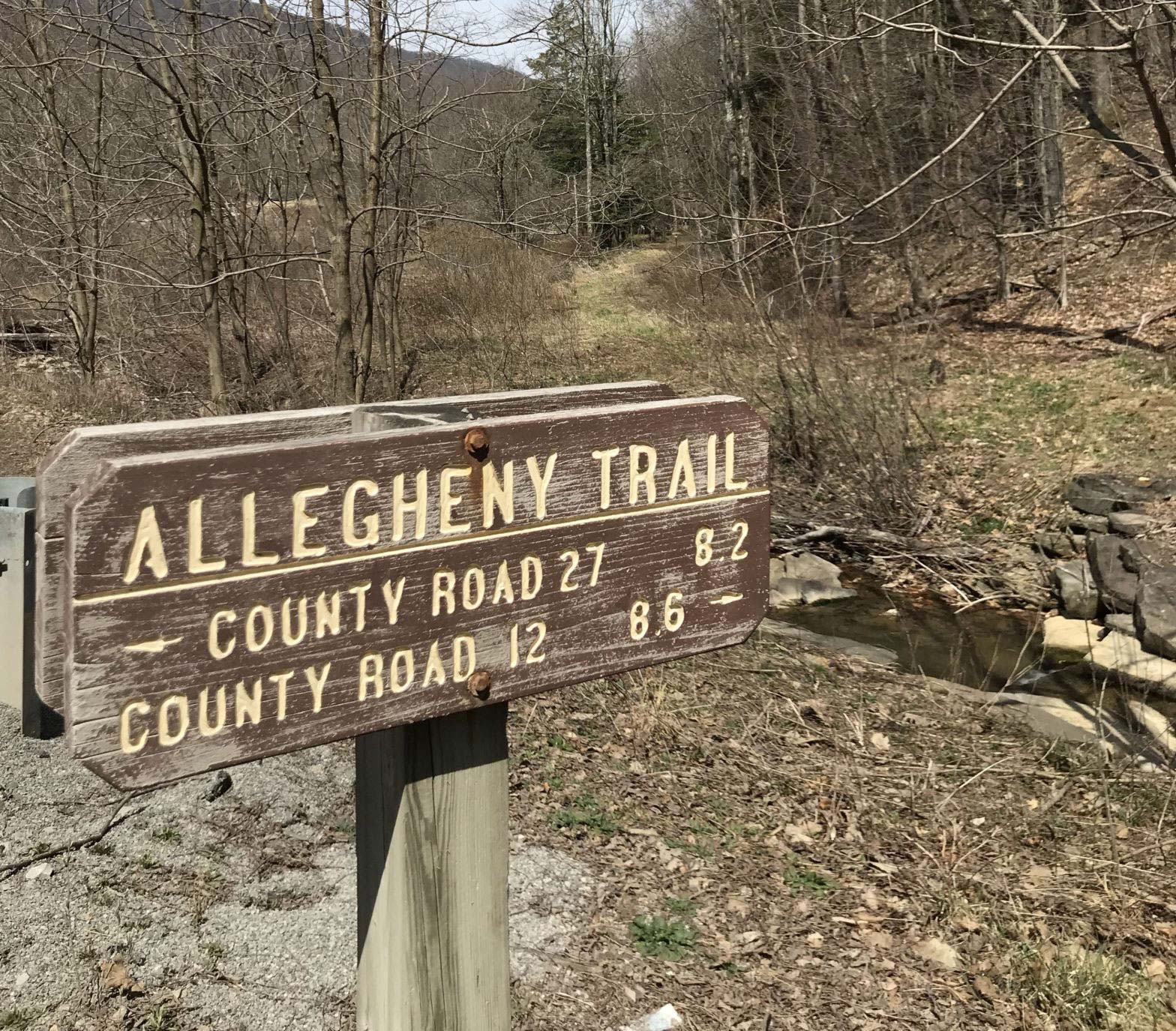
Access points in Randolph County include the southernmost trailhead at Gaudineer Scenic Area, and a trailhead north of Glady along Route 27. Look for another unmarked trailhead at a crossing of Glady Fork along Route 12 between Alpena and Jenningston. The last access point is along US Route 33 at Evenwood. Spectacular scenery along the Glady Fork and its tributaries await your hike through Randolph County.

Photo Gallery