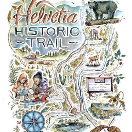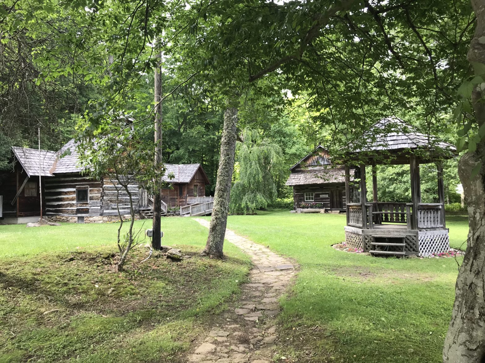
Helvetia Historic Trail
Main Street, Helvetia, WV 26224
The Historic Helvetia Hiking Trail is open to the public and is a 2.5 mile beautifully aerobic hike.
Starting at the Helvetia Star Band Hall you go down Main Street toward the Hütte Restaurant and turn left on Old Helvetia Road. You will pass our historic cemetery and enjoy a paved path for the first quarter of a mile. Hiking up the mountain beyond the cemetery, you will pass an old grapevine on the right and find two red trail markers that indicate you need to turn left. At that switch back, just before the crest of the hill, go left and enjoy a gentler climb that will bring you to a private farm. Near the farm, you will reach a fork, follow the trail blazes to the left and begin your one mile descent along a wooded path back to downtown Helvetia. Listen for church bells as a guide. You will return to the village from behind the church and come down Zumbach Road to Main Street. There, you go left to return to the Star Band Hall. The entire looping trail is blazed with red hiking symbols. (See image of markers, topographic map, and elevation details in the images). We hope you enjoy the trail. And please let us know if any new fallen trees block the trail. Also, please leave only footprints. Thank you and have fun.
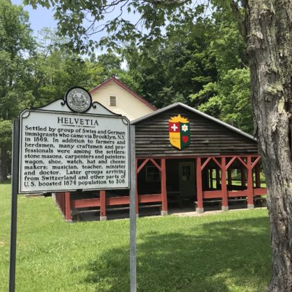
The annual Helvetia Historic Walk is normally held on October 20th, the day of Helvetia’s founding in 1869. The town is over 150 years old. The Historic Walk begins at 4:00pm at the Star Band Hall (Red Hall). Hikers walk along Old Helvetia Road, which parallels the Left Fork Right Fork Buckhannon River to the Helvetia Cemetery. Continuing up a steep incline for approximately half a mile, hikers turn left on a hairpin turn at the old grapevine to climb again, briefly, past a farm and down through a more densely wooded dirt road to the original trail that led the original settlers into Helvetia. You’ll hear the church bells as you get closer to the village and will exit the woods near Main Street, just a short distance from your starting point at the Star Band Hall. Typically, at this event Helvetian’s will host a small gathering inside the Star Band Hall for hot cocoa, coffee, and cookies afterward. There’s no fee but donations are accepted to support the restoration and development of the sweet village.

Photo Gallery