Mower Tract
Forest Road 227, Huttonsville, WV 26273
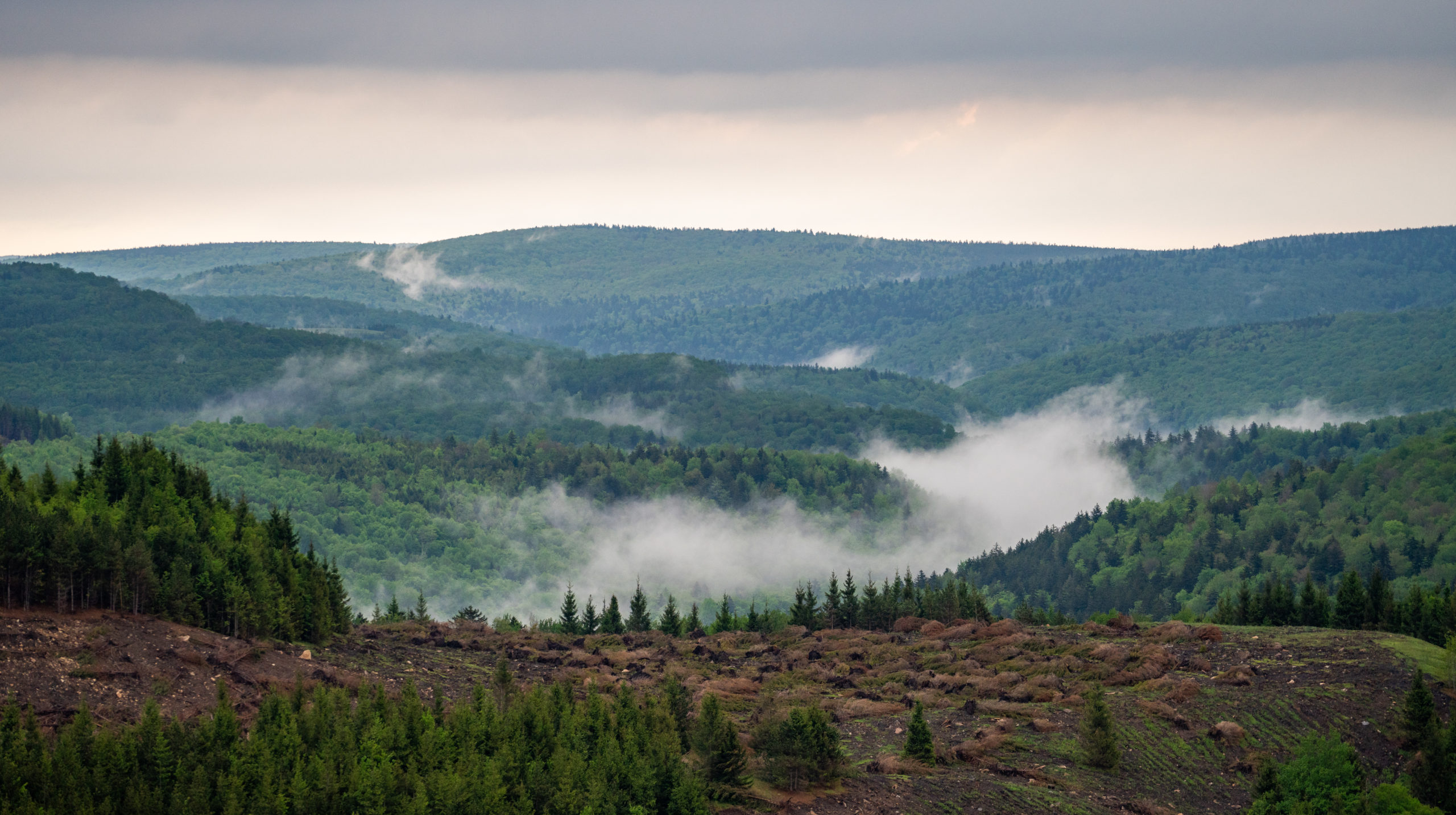
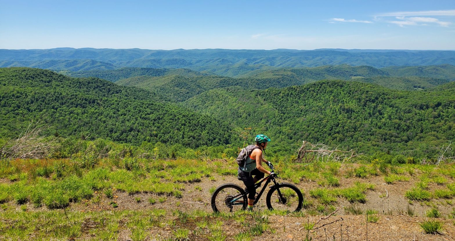
The Mower Tract refers to approximately 40,000 acres of National Forest Land that was purchased from the Mower Land and Lumber Company in the early 1980’s. It is located on Cheat Mountain, which traverses the entire length of central Randolph County, WV. The landscape hosts one of the largest red spruce communities south of Maine.
As you drive through this area, you’ll notice ongoing reforestation projects. Red spruce trees used to be a common component of the central Appalachian Mountains. Today, the red spruce trees are reduced to only a small fraction of their original range- mostly in high elevation forests- due to the intensive logging, fire and land use changes. The red spruce ecosystem remains extremely important, providing many valued benefits, such as habitat for threated, endangered, and sensitive species like the Cheat Mountain salamanders and Virginia northern flying squirrels. Other high interest species that you might find while exploring include the snowshoe hare, white-tailed deer, black bear, golden eagles, woodcock, ruffed grouse, saw whet owl, and a number of pollinating animals.
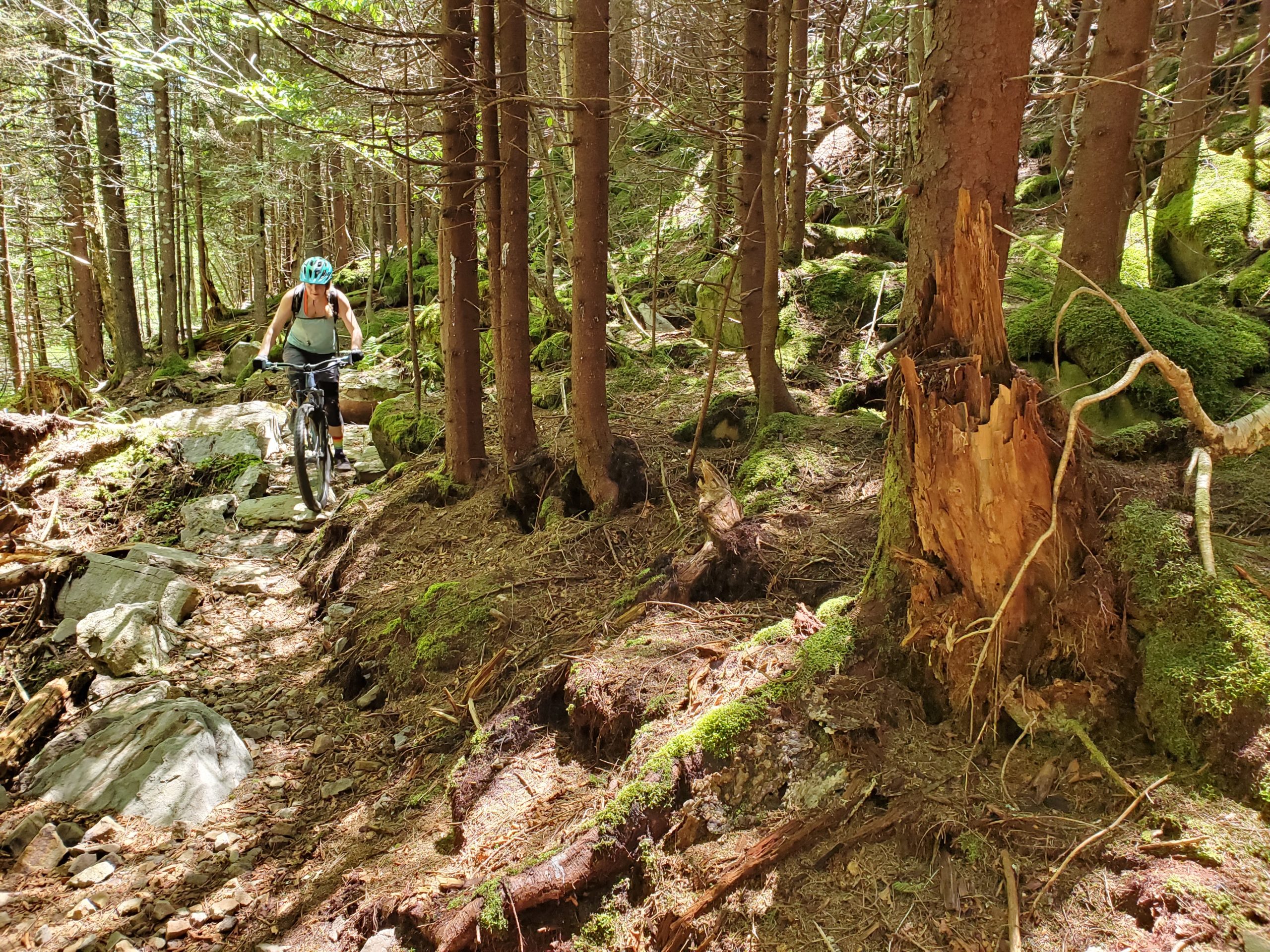
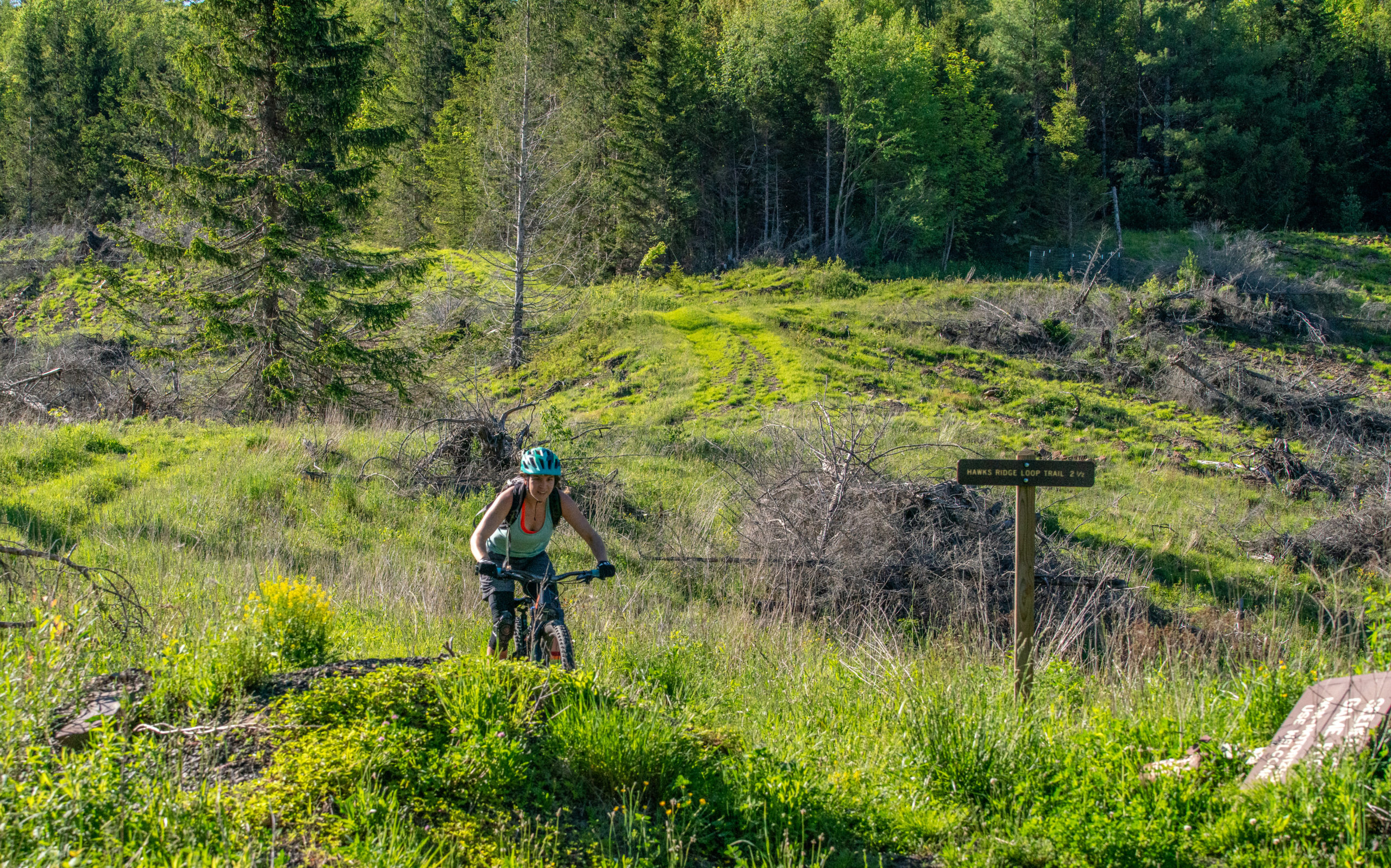
Over 27,000 native plants have been planted since the reforestation project started. Over 130 wetlands were created on more than 1800 acres of the land. Recreation and tourism are the biggest economic interests in this area. Hiking trails, biking trails, primitive campsites, and roads have been constructed to provide additional recreation opportunities. Kiosks in the area highlight the importance of reforestation and the projects at hand. Barton Knob is also located within the Mower Tract and is a mountain summit on the Cheat Mountain Range.
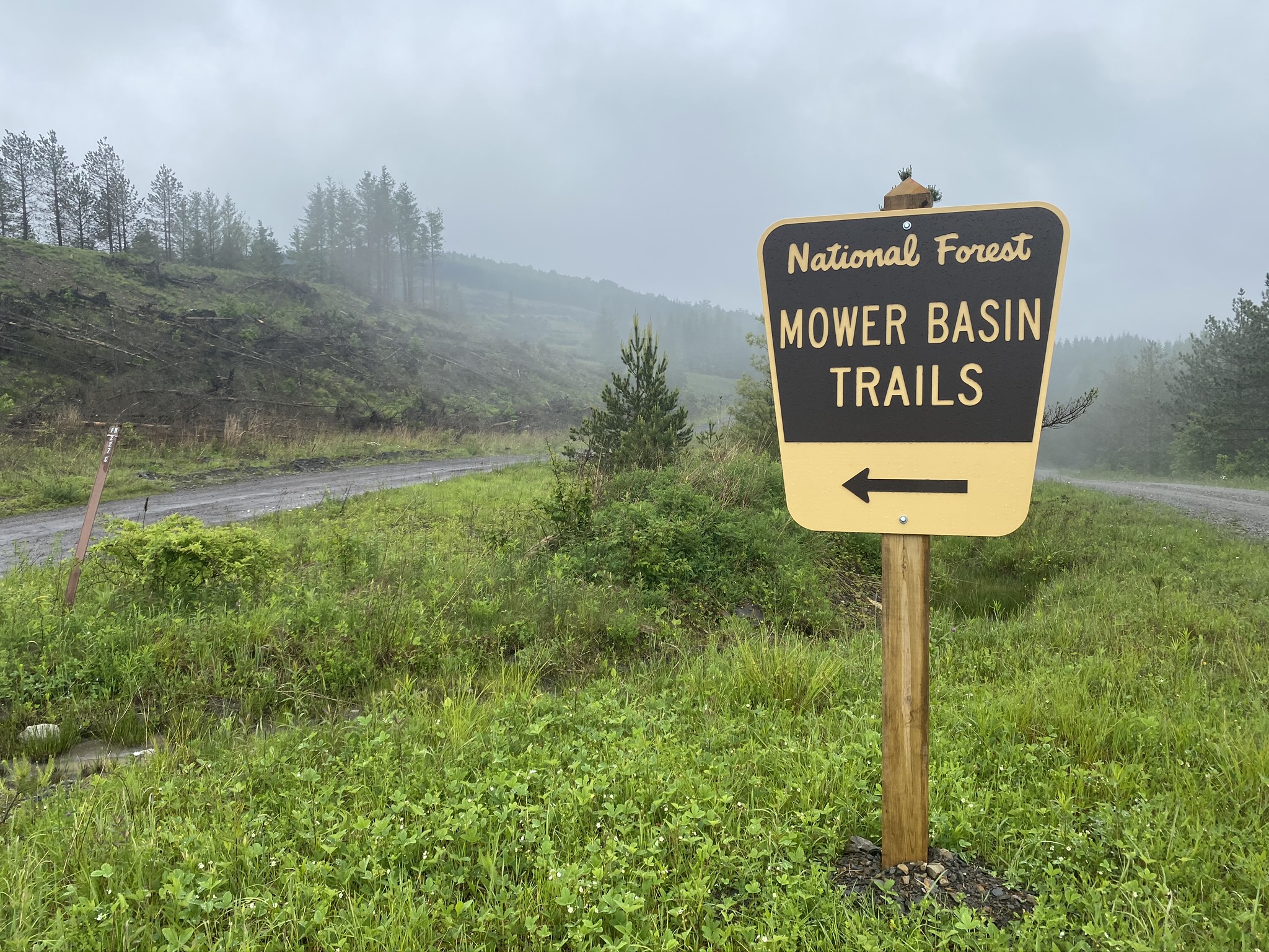
Directions from Elkins – Take US250S towards Beverly and Huttonsville. In Huttonsville continue straight on US250 up Cheat Mountain. At the top of the mountain take the first right onto Forest Road 227. This road will be gravel. Continue on this road for about 10 minutes until reaching the Mower Tract Basin signs. There will be a fork in the road where you will want to take the left. Continue until reaching the trailhead.
Header & Footer Photo Credit: Dylan Jones // Highland Outdoors

Photo Gallery