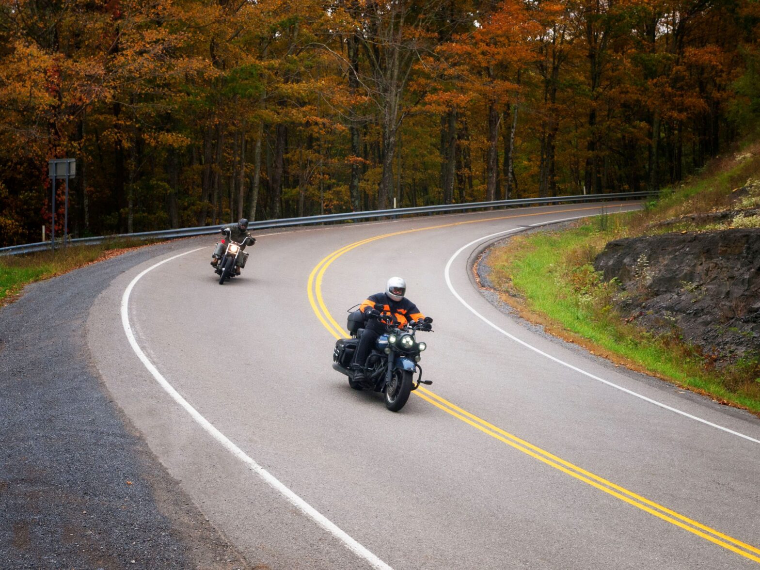
In West Virginia, driving on two wheels is just better. The Mountain Salamander cuts you through beautiful farm land, through thick forest, and nearby pristine rivers providing challenging switchbacks with plenty of elevation changes to test your skills.
Leaving Elkins you will merge onto US48 toward Buckhannon. You will be on the highway for about 7 miles and make a left on County Rd. 151 to Coalton/Norton. Turn left onto Coalton/Pumpkintown Rd. Stay on this road for 6 miles and take a slight left on Rich Mountain Rd. You will go through the town of Mabie. Don’t blink because you might miss it.
Take Cassity Rd and Adolph Cassity to Helvetia-Adolph Road in Middle Fork for 11.5 miles. When you come to the stop sign, make a left onto Helvetia-Adolph Road to go to Mill Creek. You will be on this stretch of the road for about 6 miles. At the stop sign in Mill Creek you will take a right on US250 toward Huttonsville. As you ride through, you will notice a majority of the homes look very similar. This is because Tygart Valley Homestead is located in Mill Creek which was a project developed in 1935 during the Great Depression.
Once in Huttonsville, you will pass the historic Tygart Valley Presbyterian Church on your right. It sits on a hillside and is worth a stop. At the gas station, you will take a right on US219 toward Snowshoe. Rte. 219 S will take you past Kumbrabow State Forest, West Virginia’s highest forest at 3,930 feet. On this stretch of the road, you will pass the town of Mingo. The Brazenhead Inn is a great stop for lunch at Mike’s Irish Pub.
After lunch continue to Snowshoe and make a short detour to the top of Snowshoe Mountain Resort where the view is breathtaking. Resume your ride on Rte. 66 E to the town of Cass, a quaint coal and timber town where you can experience one of the last coal operated scenic trains.
From Cass you will travel north on Rte. 28 to Green Bank. Green Bank is a national radio quiet zone and home to the largest fully steerable telescope in the world. The Green Bank Science Center is a stop well worth your time.
Continue to the town of Bartow. At this point in your ride, you will take US250 back to Elkins over Cheat Mountain. This is one of the best mountains to ride your bike over in Randolph County. It has a lot of switchbacks making for a fun finish to your ride. The Gaudineer Scenic Area is on this portion of the ride, just past the town of Durbin. Forest Service 27A is a well maintained gravel road that will be on your right to take you up to the scenic area which has a 1-mile loop to hike, picnic tables, and restrooms.
After this slight detour, make your way back down the mountain to continue on US250 back to Elkins. You will be on this portion of the road for around 28 miles. You will pass through the historic town of Beverly. Beverly was one of the first settlements west of the Alleghenies and dates back to the era of the American Revolutionary War. Over a dozen pre-Civil War buildings still survive and some are open to the public as museums, shops, or dining establishments. Just five miles west of the town is the Rich Mountain Battlefield Civil War site. You can learn more of this battle and the history of Randolph County at the Beverly Heritage Center.
Beverly is only 10 minutes from Elkins so it’s just a hop, skip, and a jump away to complete your ride.
Header Photo Credit // @WVTourism