
By Lizard Seeker Emily Huguenin
Used with permission of Purple Lizard Maps
At 330 miles, the Allegheny Trail (ALT) is West Virginia’s longest hiking trail and one of its least traveled. This trail follows a network of roads and trails from the Mason-Dixon Line near Bruceton Mills, WV to the southern border of WV and VA near Petersburg, WV. In September 2017, my husband and I thru-hiked the ALT as a celebration of our 5-year wedding anniversary and to explore the Mountain State we call home. In three weeks, we discovered scenic back roads, lesser known recreation areas, hidden history, and endless solitude. This three-part blog series highlights the 40-mile section of the ALT that winds its way across the new Dolly Sods & Seneca Rocks Lizard Map. I hope our experience will encourage you to find your own adventure on the Allegheny Trail!
8 or 16-mile point-to-point adventure:
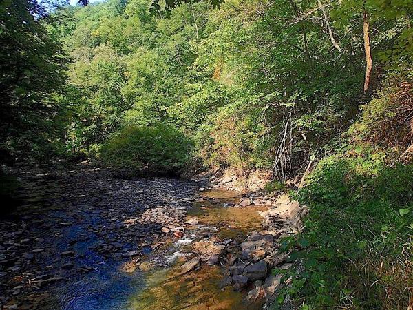
The Allegheny Trail (ALT) hugs the isolated Glady Fork River for over 25 miles. This hike will introduce you to one of the most rugged and wild sections of the entire ALT, as well as some fantastic campsites accessible by car. I recommend exploring this section as a long day hike, with a car and camping gear waiting for you at the finish. To set up a shuttle, you’ll be happy to have the Dolly Sods-Seneca Rocks Lizard Map showing you how to access the remote Forest Service roads.
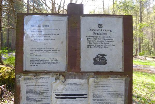
Two areas allow dispersed car, backpack, or bike camping along this route. Take the short trip option and stay at Gladwin Dispersed Camping area (roughly 8-miles from the starting point) or stick to the 16-mile route and stay at Lower Glady Dispersed Camping Area. For the long route, leave a vehicle with your camping gear at the end of Forest Road 162 along the Lower Glady Dispersed Camping Area. Shuttle a second car to Canaan Valley Resort State Park to begin your adventure. Starting from the park lodge, hike through the cabin area and into the woods until you reach the yellow blazes of the ALT at the terminus of the Railroad Grade trail.
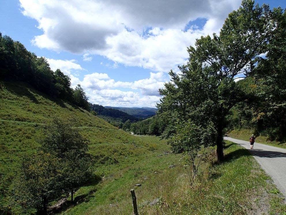
Follow the ALT south to join the scenic and paved Back Hollow Road. This is a lovely walk or bike ride leading to the hamlet of Red Creek. Continue on the isolated Butchers Ridge Road as it descends to the Jenningston Bridge over the Dry Fork river. Another 3 easy miles along Gladwin Road will take you to the Gladwin Dispersed Camping Area, where you’ll leave the road for a trail that’s seen better days. *Note: if road walking isn’t your thing, you can skip the first 8-ish miles of this section and start your journey at Gladwin Dispersed Camping Area.

The second half of this section can discourage even the most intrepid hikers. What begins as a pleasant rail trail eventually erodes (literally) into a difficult treadway including side-hill hiking on loose rock, bushwhacking around windblown trees, poison ivy, briers, and stinging nettles. You’ll even encounter a dilapidated hand line to help you scramble up a section of washed-out trail. The good news is, you’ll never get lost as this section is well-blazed and hugs the riverbank for its entirety. You’ll also experience solitude beyond compare, gorgeous stream-side views, and possibly some of the state’s best trout fishing (we didn’t get a chance to test the waters, but the conditions seemed perfect for native brook trout). Keep your eyes peeled for osprey, bald eagles, and fresh black bear sign.
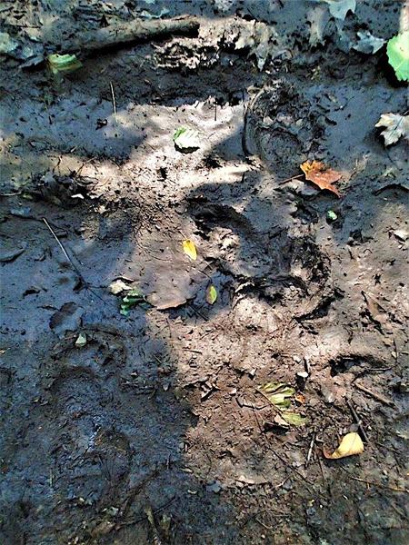
Don’t forget to hang a bear bag if you camp as sightings are very common in this region. After five miles or so of difficult hiking, you’ll be rewarded as the trail returns to an easier railroad grade and eventually joins a gravel road before the end of your journey.
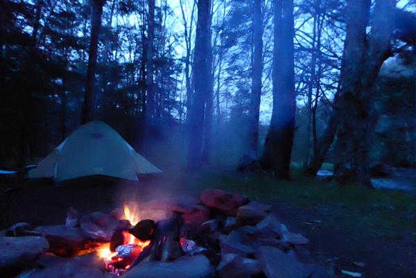
Set up camp at any of the prime sites in the Lower Glady Dispersed Camping Area, and enjoy an extra s’more or two to celebrate your hike. You’ve earned it!
Author Bio
Emily Huguenin is a WV resident and long-time lizard seeker. She and her husband thru-hiked the Allegheny Trail in September 2017 and are happy to share beta about this lesser known trail through West Virginia. When she’s not hiking, trail running, or cross country skiing, Emily serves as assistant director at Camp Hidden Meadows, a youth summer camp focused on helping kids explore and love the great outdoors. Feel free to reach out to emilyjhuguenin@gmail.com with any questions about exploring the Allegheny Trail.